Headwall Introduces Advanced Sensor Payloads for UAV Platforms in Remote Sensing
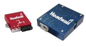
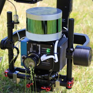
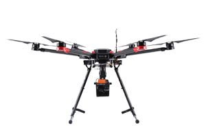
Innovative developments in the field of remote sensing! Headwall has introduced advanced sensor payloads consisting of hyperspectral sensors and LIDAR for deployment on Unmanned Aerial Vehicle (UAV) platforms. This fusion of spectral imaging data and 3D LIDAR output allows for new industry-leading capabilities in addressing critical remote sensing applications ranging from civil and military infrastructure inspection to crop science applications requiring discrete solutions for crop monitoring. Headwall’s software also allows for control of both instruments, utilises the Digital Elevation Map for image creation, and allows for the merging of spectral datasets with the 3D point cloud. As instruments get smaller and lighter and UAVs get more robust and powerful, Headwall’s integrated airborne packages are designed for low-altitude, high precision flight for applications where high spectral and spatial resolution is required. Headwall continues to lead the industry with integrated solutions that are based on solving costly problems for our customers.


